27
Jan
Distribution of web resources through Content Delivery Networks
With a billion of websites out there on the internet, this is probably more than the number of hairs on human head. With so many websites on internet how does one improve upon the performance of web server to respond faster and cater to all the needs by the internet browsers? Only scaling the webservers... Read More
22
Jan
Selecting a Hosting Provider – Go for a Biggie or a Smaller Provider?
Numerous articles have been written on selecting a web hosting provider based on your requirements. A quick Google search throws hundreds of such articles mentioning various parameters that one should consider before finalizing a web host. So why one more on the same subject?? Well, because it’s a different point of view. Most of these... Read More
21
Jan
What To Look For In a Web Host ?
There are many companies which provide hosting for small as well as big business. How would you decide which company is best for you? You can follow these rules while choosing your winner. 1) Backups – Daily basis: Please look for this option keeping your eyes open while choosing a web host. This service should... Read More
17
Jan
IaaS: I have a web application but I don’t have a host for it
This blog will be of immense interest for the young minds who are interested in development of an application and then publishing it to the outer world or to make use of the application anywhere and everywhere. Some small and developing businesses who and into software development domain also have the same requirement where they... Read More
16
Jan
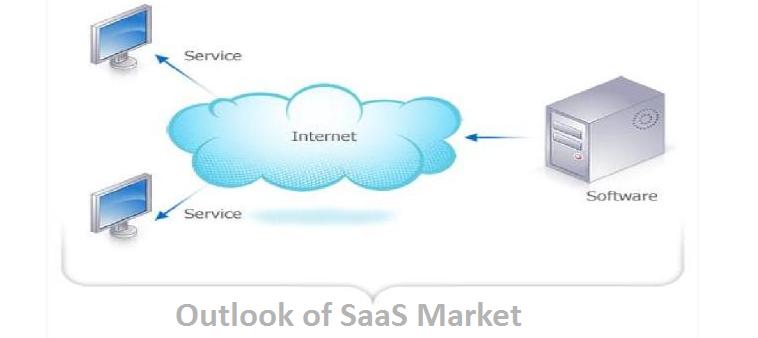
Outlook of SaaS Market
In my last blog I deep dived into the vast world of software as a service. The whole SAAS infrastructure did sound like a little stiff, tightly coupled to the browsers and had limitations of a web page. In past couple of years the Internet technology has come a long way and has evolved from... Read More
14
Jan
What Are The Trends For 2014 In Online Marketing?
2014 is already started and now after enjoying the long holiday, the time is to plan our strategy of Online Marketing for the year. In the following article I propose to analyze what are the main regional industry trends for the year. Do not miss! Take a look at new paradigms that will come in... Read More
13
Jan
Data Processing Center And Its Multiple Systems
Data Processing Centers (DPC) – is a fault complex centralized system providing automation of business processes with a high level of performance and quality of services provided, ensuring continuous operation of business-critical applications, as well as reducing the cost of storage and processing of information by making more efficient use of storage and consolidation of... Read More
07
Jan
Software as a Service (SaaS) Model
Over the past two decades India has emerged as a software services provider and is still evolving. All the businesses require to store or maintain their data to make business decisions. As per increasing business needs the stored data should be accessible anywhere at all the times to make smart business decisions. Hence the data... Read More
06
Jan
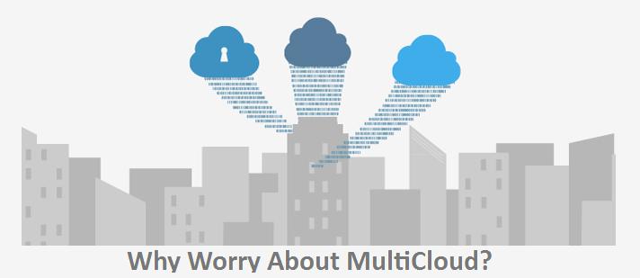
Why Worry About MultiCloud?
A new buzzword, wrapped an old problem in new technology. The use of cloud-based platforms continues to evolve into more complex forms. Why? The business world now demands a combination of many of the best services available in the cloud to create the optimal solution. The answer is the new concept called MultiCloud or Multiple... Read More
04
Jan
Open Virtual Switch – The future of network virtualization
In last few years server virtualization has evolved very rapidly. But this virtualization challenges the traditional networking architecture. To cross the hurdles caused by traditional networks there is new paradigm called open virtual switch. Open virtual switch, a layer 2 switch which is engineered for virtual machines to offer many features and supports some layer... Read More


