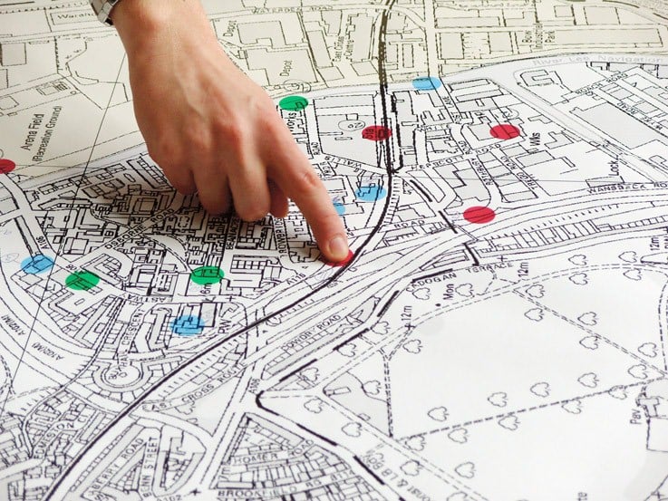
Usefulness of GIS in Urban Planning

GIS technology is very important in planning and effective decision making in the urban planning and the developments. In different urban applications as road network management and monitoring, health and sanitation problems, analysis of per capita, Industrial area planning, Improvements of parks, mass education and monitoring of the literacy rate and drainage systems and many plans and developments can be done by use of GIS techniques. Planning, monitoring, action plans implementation and assessing impacts such a tasks done with the help of GIS techniques. And it’s valuable to decision makers.
For nation’s economic growth, necessity of well-developed urban planning sector. For proper functioning of urban development authority, must having access to information of road network, asset and property ownership, census data etc. From this, increases transparency and it is cost effective. Rapid growth of urban development is most challenging factor in front of urban development authority, so efficient planning and management is basic need for it. GIS proves effective tool for planning, monitoring, management, co-ordination and utilization of features of urban database. GIS is using by developed and developing countries for planning purpose.
GIS applications in urban development are vast:
- GIS data base creation for entire city, town by using latest satellite imagery
- Collection of Data from different Dept. in Municipal Corporation & integrate it in GIS database
- It is useful in creation of DP, Master Plan, CDP, TP etc.
- Application development base on different guidelines used by Planner (UDPFI etc.)
- GIS tools is used for spatial data analysis and modeling
- Land suitability analysis by using map overlay through GIS is important in urban planning
- Visualization and database management is used in urban planning
- GIS is beneficial for the storage of plans and land use maps, environment data, socioeconomic data and planning applications.
- Used for mapping improvement. Access to the different maps, useful in thematic mapping with less cost
- Efficiently retrieval of information through GIS
- Extensive and faster access to geographical information, and what if functionality, it is used in urban planning
- Best communication, improvement in quality of services, due to the fast access of the data
- GIS is useful for site selection, for storing and analyzing social, physical and economic data of the city
- Using GIS, environmental sensitive areas, environment conflict areas can be found out
- Tool creation is useful for Urban Planner
- GIS Analysis is beneficial in Planning process
- For quick decision-making
- Increasing efficiency
- Improvement of the accuracy
- Management of assets efficiently
- Useful for allocating the better resources
